LIANA
-Land-deformation and Infrastructure ANAlysis-
Monitoring mountain slope and infrastructure facility with SAR satellite
SKY Perfect JSAT Corporation., Nippon Koei Co., Ltd. and Zenrin Co., Ltd. are utilizing SAR data to visualize changes in landslides, slopes, embankments, soft ground, reclaimed land, etc., around infrastructure facilities.
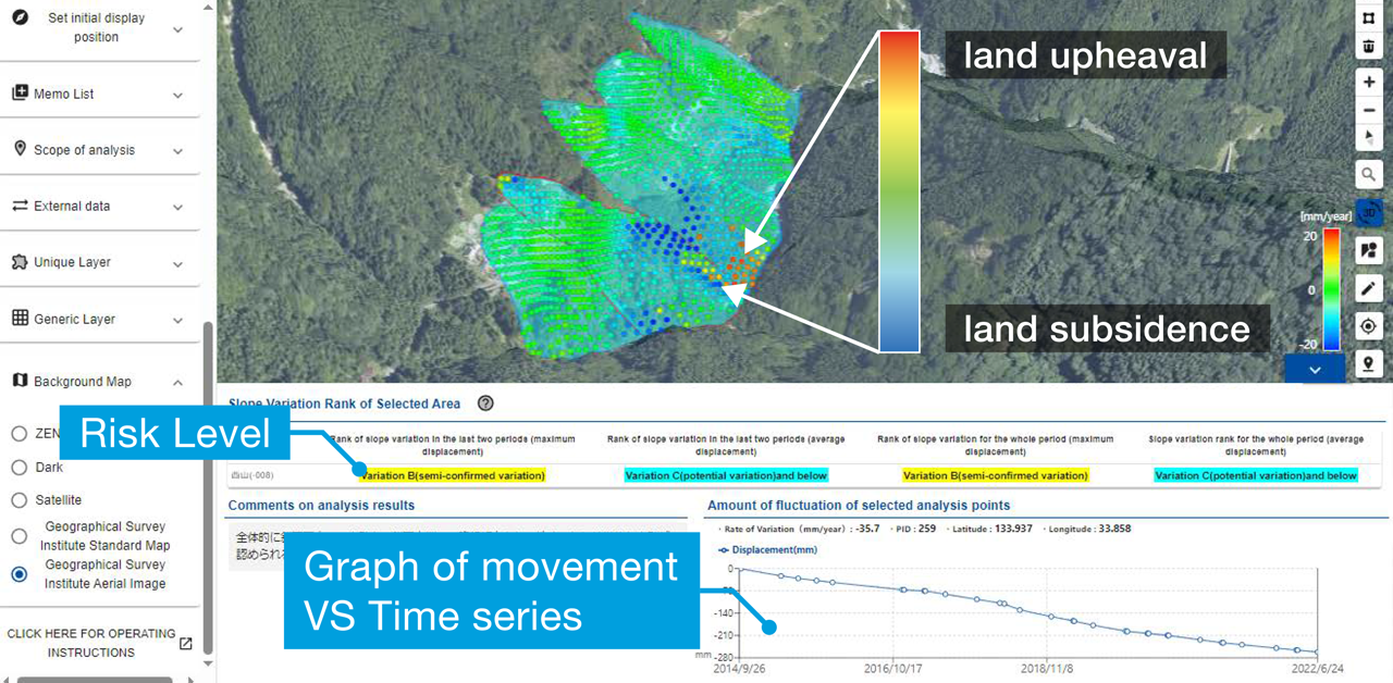
- Monitoring the deformations with an accuracy of a few centimeters
- Can be screened an area of several tens of kilometers square
- Possible to monitor the record of changes over time from the past
- Immediately can be shared analysis results via Web UI
Analysis and Visualization Flow
Obtain deformaiton information with high accuracy using our unique InSAR*1 algorism
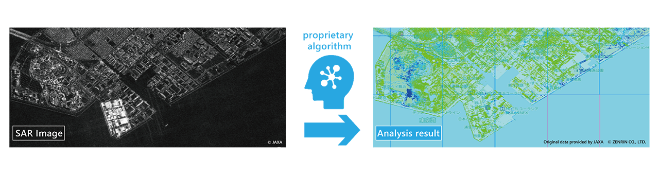
- InSAR
A method to calculate the variation of the land surface using Synthetic Aperture Radar(SAR) images at two or more different times for the same area.
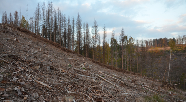
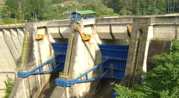
For maintenance and management of embankment construction areas
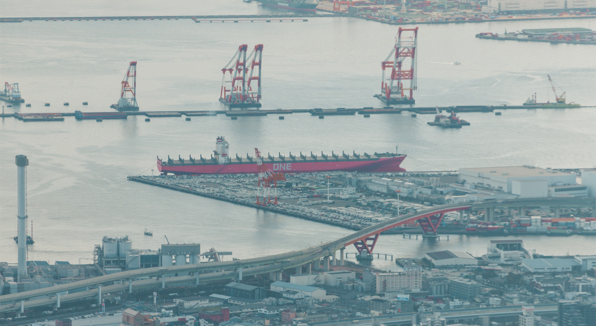
For monitoring subsidence in waterfront areas and reclaimed land
To understand the impact of construction on surrounding facilities

For maintenance of electric power facility locations
Thank you for your interest in SKY Perfect JSAT.
To contact us, please click here.
- LIANA
- GEO Teleport / Housing Service
- LEO Teleport / Housing Service
- Maritime(JSATMarine)
- Aviation
- Managed service covering APAC region
- IoT Connectivity Solution
- Cellular Backhaul
- Japan Domestic Services
- Satellite Broadcasting Solutions
- Solar Meilleur
- Activities for the Future
- Satellite Operation Service